


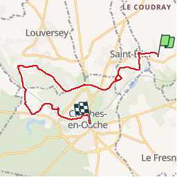

21 km | 24 km-effort


Gebruiker


Gratisgps-wandelapplicatie
 SityTrail
IGN / Geografische instituten
SityTrail World
De wereld gaat voor u open
Tocht Andere activiteiten van 13,4 km beschikbaar op Normandië, Eure, La Croisille. Deze tocht wordt voorgesteld door christianetance.


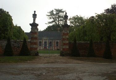
Stappen

Stappen
Stappen
Stappen
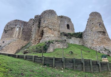
Stappen

Te voet

Mountainbike
Mountainbike
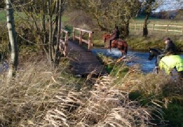
Paard